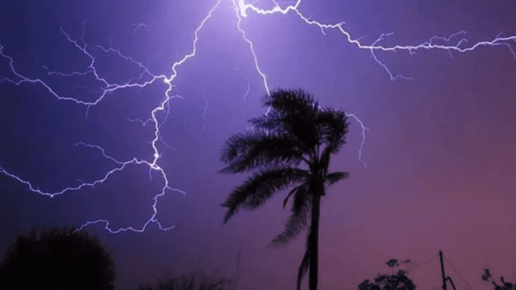
Between East London and Port Edward, the South African Weather Service has issued a yellow level 1 warning for damaging wind.
Extremely high fire danger conditions are expected over the Northern Cape’s Hantam and Karoo Hoogland District municipalities, the Western Cape’s Witzenberg, Breede Valley, and Langeberg District municipalities, and the Eastern Cape’s Sarah Baartman and Raymond Mhlaba District municipalities.
Furthermore, scorching conditions are expected over the Western Cape’s Prince Albert and Beaufort West District municipalities, the Eastern Cape’s Sarah Baartman District Municipality, and the Northern Cape’s northwestern interior.
Your region’s weather:
The weather in Gauteng will be partly cloudy and warm, with scattered afternoon showers and thundershowers.
The UVB sunburn index is expected to be extremely high.
Morning fog will form along the Mpumalanga escarpment.
The rest of the day will be partly cloudy and cool to warm, with isolated showers and thundershowers in the west.
Limpopo will have morning fog over the southern escarpment, but the rest of the day will be partly cloudy and cool to warm, with isolated showers and thundershowers in the south-west.
Partly cloudy and warm, with isolated showers and thundershowers in the northwestern sky.
Partly cloudy and warm, with isolated showers and thundershowers, but scattered showers in the west.
The Northern Cape coast will be cloudy, with morning fog patches.
Other parts of the province will be fine to partly cloudy, with temperatures ranging from hot to very hot.
The west will be cool to warm.
Showers and thundershowers are expected in the central and eastern parts of the country, with scattered showers in the south-east.
The wind will be light to moderate northerly to north-westerly along the coast, becoming westerly in the afternoon.
Morning fog will blanket the Western Cape’s west coast and southern interior.
Otherwise, it will be fine to partly cloudy with temperatures ranging from cool to warm, but hot to extremely hot over the interior.
In the north-east, isolated showers and thundershowers are expected.

In the morning, the wind will be light to moderate north-westerly to westerly, then light to moderate south-westerly to southerly, but fresh along the south coast.
The UVB sunburn index is expected to be extremely high.
The Eastern Cape coast will be cloudy and foggy in the morning.
The western half of the province will be hot and sunny, then cloudy with scattered thundershowers.
Showers will be isolated in the south-west.
The wind will be fresh to strong south-westerly along the coast.
The eastern half of the province will be sunny and hot to very hot, but cool along the coast, with scattered thundershowers.
Showers will be isolated in the east.
The wind will be moderate to strong north-easterly, shifting to south-westerly in the evening.
The interior of KwaZulu-Natal will experience morning fog.
The province will be fine and warm, with isolated afternoon showers and thundershowers in the west.
The wind will be moderate to strong northerly to north-easterly along the coast.
Don’t forget to follow us on Facebook | Instagram | Twitter | LinkedIn to get the latest updates from Cape Town Tribune


