
The South African Weather Service issued severe thunderstorm warnings for parts of the country, which could cause localised flooding.
Impact-based alerts:
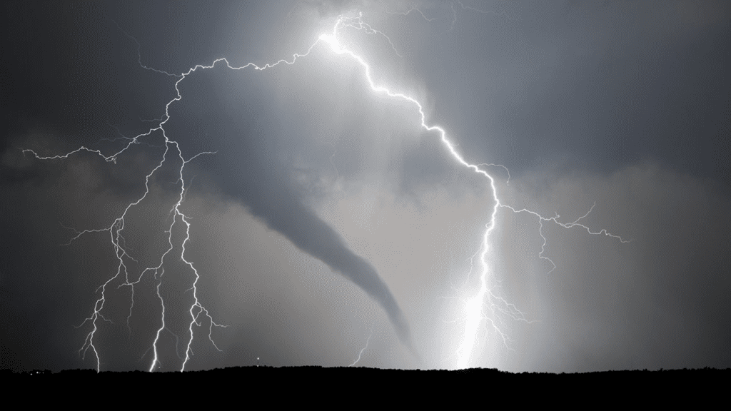
Severe thunderstorms, resulting in localised flooding of low susceptible formal/informal settlements and roads, as well as large amounts of small hail and excessive lightning, could cause localised property damage in Gauteng, Limpopo, Mpumalanga, the eastern parts of the Free State and North West, extending to central and northern KwaZulu-Natal.
Severe thunderstorms with an orange level 5 warning, resulting in flooding of roads, settlements, and low-lying areas, as well as the closure of bridges and roads. Large amounts of small hail could damage vehicles, and excessive lightning could endanger lives and cause property damage, as well as strong winds that could damage formal and informal houses or structures across Mpumalanga’s highveld.
Fire danger alert:
Conditions are favourable for the development of veld fires in the Northern Cape’s interior, the west of North West, and the north of Free State.
Weather in your area:
It will be partly cloudy and warm in Gauteng, with scattered showers and thundershowers.
The UVB sunburn index is expected to be extremely high.
Mpumalanga will be partly cloudy and warm to hot, with scattered showers and thundershowers in the lowveld.
Limpopo will be partly cloudy and warm to hot, becoming cloudy in the evening, with isolated showers and thundershowers, but only in the west and central parts. It will be common in the south.
It will be partly cloudy and warm in the north west, with isolated showers and thundershowers, but scattered in the east.
The weather in the Free State will be partly cloudy and cool to warm, with isolated showers and thundershowers in the east.
The Northern Cape will be partly cloudy and warm, with isolated showers and thundershowers in the east, but clear in the west.
The wind will be fresh to strong southerly to south-easterly along the coast.
In the Western Cape, it will be fine in the morning, partly cloudy and cool to warm in the afternoon, but cloudy along the south coast from the afternoon.
At first, isolated showers and thundershowers are possible over the extreme eastern parts.
The wind will be moderate to fresh south to south-westerly along the coast, but south-easterly along the south-west coast at first.
The UVB sunburn index is expected to be extremely high.
Cloudy and cool in the Eastern Cape, with scattered showers and thundershowers, but widespread in the south-east.
The wind will be moderate south-easterly east of Cannon Rocks at first, then moderate to fresh south-westerly, reaching strong at times, along the coast.
Morning fog patches are expected over KwaZulu-interior. Natal’s
It will be partly cloudy to cloudy and warm, with scattered showers and thundershowers in the north, but widespread.
The wind will be moderate to fresh northerly to north-easterly along the coast, shifting to fresh south-westerly from the extreme south in the afternoon and spreading to Richards Bay in the evening.
The UVB sunburn index is expected to be moderate.
Don’t Forget To Follow Us On Facebook | Instagram | Twitter | LinkedIn To Get The Latest Updates From Cape Town Tribune